Issues of development of geographic information service for monitoring and controlling the state of forest fund were discussed in the Ministry of Forestry of the Republic of Tatarstan
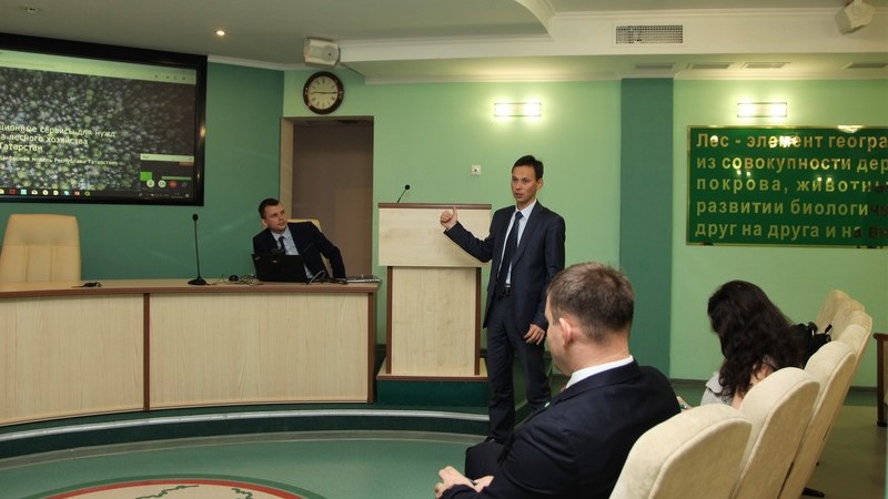
Today, the Ministry held a meeting on development of geographic information services for monitoring and controlling the state of forest fund. The event was attended by the First Deputy Minister of Forestry of the Republic of Tatarstan, Emir Bedertdinov, specialists of the Ministry of Forestry of the Republic of Tatarstan, Ministry of Information and Communications of the Republic of Tatarstan and Innopolis University.
Let us recall that currently in Tatarstan, work is underway to develop a geographic information service for monitoring and controlling the state of forest fund based on remote sensing data. At the stage of creating a prototype of the service, an analysis of the land area of about 60 thousand hectares was performed, about 1.5 thousand objects with the borders of plots and 400 objects with forest pathology were digitalized. In 2019, it is planned to complete the integration of this service with the GIS of the Forest Fund of the Republic of Tatarstan.
The meeting participants discussed the possibility of monitoring the entire territory of Tatarstan, as well as trends in development of geographic information systems in general.