Digitalization of the forestry complex: results and tasks for the coming period
In 2020-2021 in the Republic of Tatarstan, active work was carried out on the digitalization of the forestry complex. One of the solutions was the implementation of the Geoinformation System of the Forest Fund of the Republic of Tatarstan, developed by the Ministry of Forestry of the Republic of Tatarstan, the Ministry of Digital Development of Public Administration, Information Technologies and Communications of the Republic of Tatarstan and ANO VO “University Innopolis”.
The GIS of the forest fund of the Republic of Tatarstan is a geographic information portal where all data on the forest fund of the republic are collected on a single cartographic base (boundaries of forestries, district forestries, quarters, and allotments, categories of protective forests, timber reserves).
Also, with the help of ANO VO “University Innopolis”, a service was put into operation for monitoring and controlling the state of the forest fund based on remote sensing data. This system makes it possible to automate the activity of accounting and management of forest resources, to timely identify changes in the forest fund, including illegal felling of forest stands, burnt-out forest areas, areas with forest pathology, illegally erected buildings and structures.
In addition, forestry specialists began to use the Accounting System of the Forestry Complex of the Republic of Tatarstan. With its help, the tasks of accounting and preparation of primary documents, administration of budget payments, claims and claims, automated preparation of reports, interaction with the unified state automated information system for accounting for timber and transactions with it, the state information system on state and municipal payments, the remote financial system are solved. document circulation of the Federal Treasury and other federal information systems.
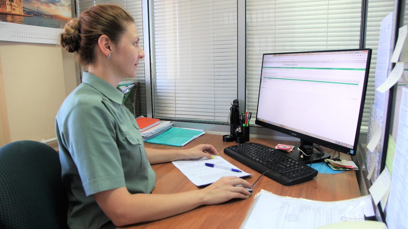
In 2021, a project was implemented to transfer public services provided by the Ministry of Forestry of the Republic of Tatarstan into electronic form. All 10 government services were digitized. Among them is the provision of a forest plot for lease based on the results of an auction, without holding a tender, the provision of a forest plot for free use, permanent (unlimited) use, an examination of a forest development project, the conclusion of contracts for the sale and purchase of forest stands for the citizens' own needs, the approval of forest pathological inspection acts. , acceptance of forest declarations and reports on the use of forests, reports on forestry activities, provision of extracts from the state forest register.
The implementation of this project made it possible to increase the satisfaction of citizens with public services and reduce the costs of business when interacting with the state. On average, the Ministry of Forestry of the Republic of Tatarstan provides 8 thousand services per year. Shortly, it is planned to improve the quality of public services provided and to shorten the terms of their provision.
In general, the plan for the digital transformation of the forest industry includes such tasks as creating a digital database on forest lands (combining data from the state forest register and USRN, digitizing forest boundaries on lands of other categories, documentation (including forest development projects), bringing of all available information in a single format), designing a regional forest management system (a single information resource that includes existing systems and services, both federal and regional, and several new services) and modernization of the IT infrastructure (updating the computer fleet of the Ministry of Forestry Of the Republic of Tatarstan and its subordinate institutions, as well as their connection to high-speed Internet).
It is expected that the digital database on forest lands will be used in the development of master plans, territorial planning schemes, land surveying projects and territorial planning projects, coordination of land plot layouts, in the implementation of environmental engineering surveys, in the design of highways, etc.